
Trace a State College Borough Street
State College Borough street research works best as a place-to-record sequence. Begin with the exact number, directional, suffix, municipality, and mailing ZIP printed on the source in hand. The borough map or Centre County parcel map can help distinguish similar road names and show whether a location sits within the borough boundary. That first result identifies a parcel location, not a person. From there, the assessment record, deed index, and historic collections each answer a narrower question about the same tract.
Keep the parcel's UPI, or Uniform Parcel Identifier, with every result. Centre County uses that key to connect assessment work and recorded deeds. A mailing field can point somewhere else, so it should be treated as correspondence information rather than proof that its recipient lives at the property. This is the safest starting point for a full street directory search.
- Locate the normalized address in the free County Public Parcel Viewer or the Borough map. Confirm parcel outlines and nearby roads before moving to an ownership record.
- Use the parcel's UPI at the Assessment office lobby terminal or the county-designated DataScout route. Record the date of the assessment result because the legacy WebIA assessment data is not current.
- Use the UPI, legal description, and owner-of-record detail to find the acquisition document at the Recorder of Deeds. Note grantor, grantee, document date, recording date, and book or page reference.
- For a regulated electoral purpose, request the applicable Street List or Walking List from Centre County Elections. Those lists are not a general web directory and cannot be republished online.
- When the question reaches an earlier period, compare PA Room tax, map, and newspaper material with a verified historical directory or Sanborn map, rather than assuming a modern street number always existed.
State College Borough Street Record Coverage
Each address source has a different key and a different limit. The table separates a useful parcel or document lead from evidence that a person lived at an address. It also shows why a free map, an assessment terminal, and a Recorder search should not be substituted for one another.
| Address record | Local keeper | Street result | Access and limit |
|---|---|---|---|
| Parcel location and layers | Centre County GIS | Boundary, flood, soils, school, and public-land context | Free viewer, with no ownership layer |
| Assessment and tax roll | Centre County Tax Assessment | UPI, valuation, characteristics, and owner-of-record context | DataScout subscription or public lobby terminal |
| Deed and mortgage documents | Centre County Recorder of Deeds | Parties, dates, book or page, and property chain | Paid WEBIA or counter inspection from 1800 |
| Planning and permit file | State College Borough Planning and CRCA | Project plans and relevant dates | Request route, not a confirmed public search |
| Historic tax, road, and map material | Pennsylvania Room | Earlier property and street context | Onsite collection or research service |
| Street or Walking List | Centre County Elections | Regulated election record by street or area | Written request, ID, affirmation, and use restrictions |
A recorded party can be a seller, lender, trustee, or entity representative. A tax owner can have a separate mailing address. Those distinctions keep a State College Borough street directory result tied to the record's actual meaning.
Map a State College Borough Street
The free parcel viewer is the map-first part of a street directory workflow. It supplies basic parcel information plus FEMA flood, soils, school-district, and public-land context. Centre County expressly excludes ownership from that viewer. Use its visible parcel edges and surrounding roads to standardize the place, then move to Assessment for the separate ownership and tax-record layer.
See the Centre County Public Parcel Viewer service before treating a map boundary as a named-owner result.
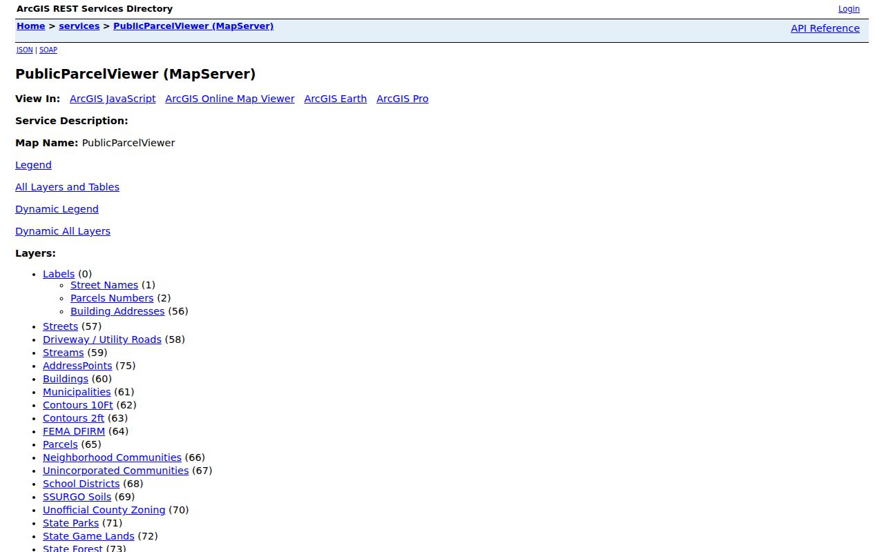
The viewer is valuable for parcel context, but the ownership boundary is deliberate and must remain visible in any State College Borough street directory conclusion.
See the Centre County GIS and Public Parcel Viewer page for the county's stated public mapping route.
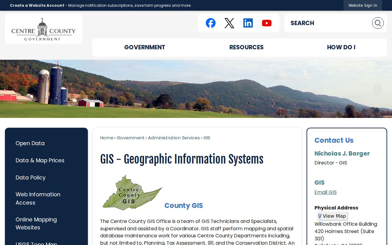
For a street-wide review, the map helps organize parcels one at a time instead of implying that the free layer offers a bulk list of people.
Note: Map context can distinguish parcels, yet the county's free viewer does not establish ownership or household membership.
Use UPI for State College Borough Streets
The UPI is the most stable bridge in the State College Borough street directory chain. A situs address is the physical location of land or a building. A legal description identifies the parcel in deed language. Centre County requires an Assessment-issued UPI before a deed can be recorded, which makes that identifier stronger than a common street-name match when an older source uses a route, road, or lot description.
- Parcel or UPI
- A county property key used to connect assessment, mapping, and recorded-document work.
- Situs address
- The physical location of the property, used to place it on a street or map.
- Mailing address
- A tax-correspondence destination. It may differ from the situs and does not prove present presence at the property.
- Legal description
- The land description in a deed, often a safer historic match than a street number alone.
- Plat
- A recorded map that depicts lots, lines, or subdivision details connected to a property description.
Current assessment information is available through the public lobby terminal at 420 Holmes Street, Suite 301, Bellefonte, or through DataScout subscription access. The county says its assessment office maintains tax rolls, UPI work, valuation, and mapping updates for roughly 58,000 parcels.
State College Borough Street Assessment Access
DataScout is the county-designated current assessment route, while the physical lobby terminal is the documented no-subscription alternative. The county page did not expose an inspectable current vendor form, so a street directory search should not claim undocumented controls. It is safe to use the published access tiers and record categories, then confirm the active screen or terminal before relying on a field.
Open the Centre County DataScout property route for the current subscription path.
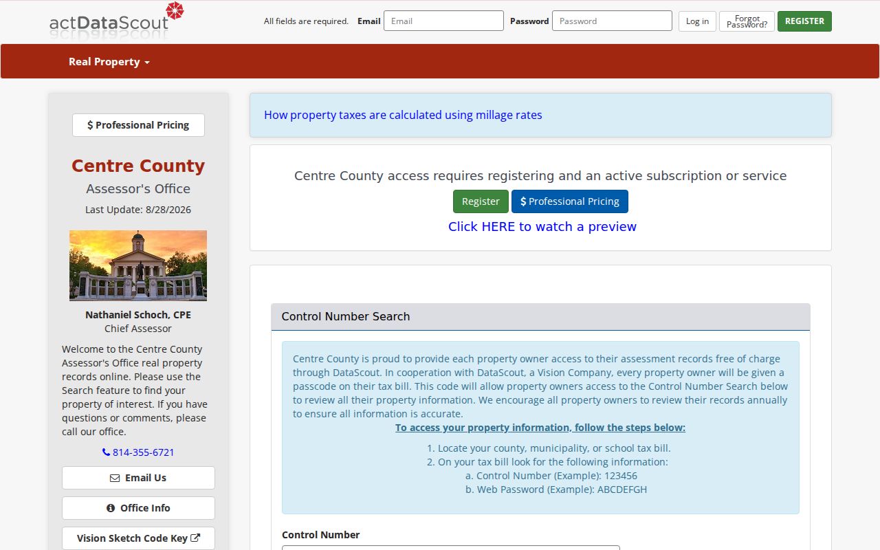
When a current screen is unavailable or unclear, the public terminal provides the county-supported way to inspect a particular assessment record.
The Centre County Tax Assessment page describes the office's tax-roll and parcel responsibilities and directs users to its access options.
State College Borough Street Directory Fields
Centre County publishes the documented WebIA mapping criteria, even though the current DataScout form was not available for a field-by-field inspection. WebIA is subscription access. The published criteria below are useful for narrowing a by-street search without inventing controls for the newer system.
| Published WebIA criterion | Type | Required status | Documented scope |
|---|---|---|---|
| Owner name | Search criterion | Not stated | Subscription mapping criterion |
| Tax ID number | Search criterion | Not stated | Subscription mapping criterion |
| Municipality | Search criterion | Not stated | Subscription mapping criterion |
| Sale date or sale price | Search criterion | Not stated | Subscription mapping criterion |
| Address or street name | Search criterion | Not stated | Subscription mapping criterion |
| Parcel, FEMA, soils, school, public lands | Map layers | Not stated | Free Public Parcel Viewer context, with no ownership |
| Owner, UPI, address, street, municipality, school district | CentreGIS subscription mapping | Not stated | County says a password or subscription is required |
See the county's online mapping options for the published distinction between public and subscription mapping.
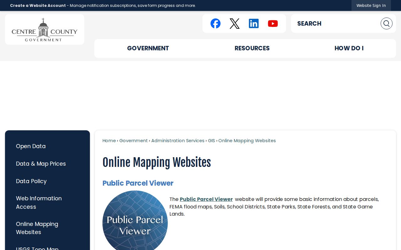
The documented street-name criterion belongs to paid mapping. No official free full-street owner list was located.
Follow State College Borough Street Deeds
After Assessment provides the parcel key and owner-of-record context, the Recorder of Deeds supplies the document trail. Search party names and dates, then capture the recording date, document date, book and page or document number, property description, grantor, and grantee. Search a prior seller as a grantee to move backward. The deed chain describes transfers of the parcel, not a roster of everyone who used the address.
Centre County says Recorder public document records from 1800 forward, except military discharges, can be inspected at the office. Remote WEBIA access is paid. For counter copies, the Recorder's published FAQ says deed printing is $0.50 per page; mailed copies require a self-addressed stamped envelope and a call first to calculate the page total.
Start with the Centre County Recorder of Deeds for the office route and public-inspection details.
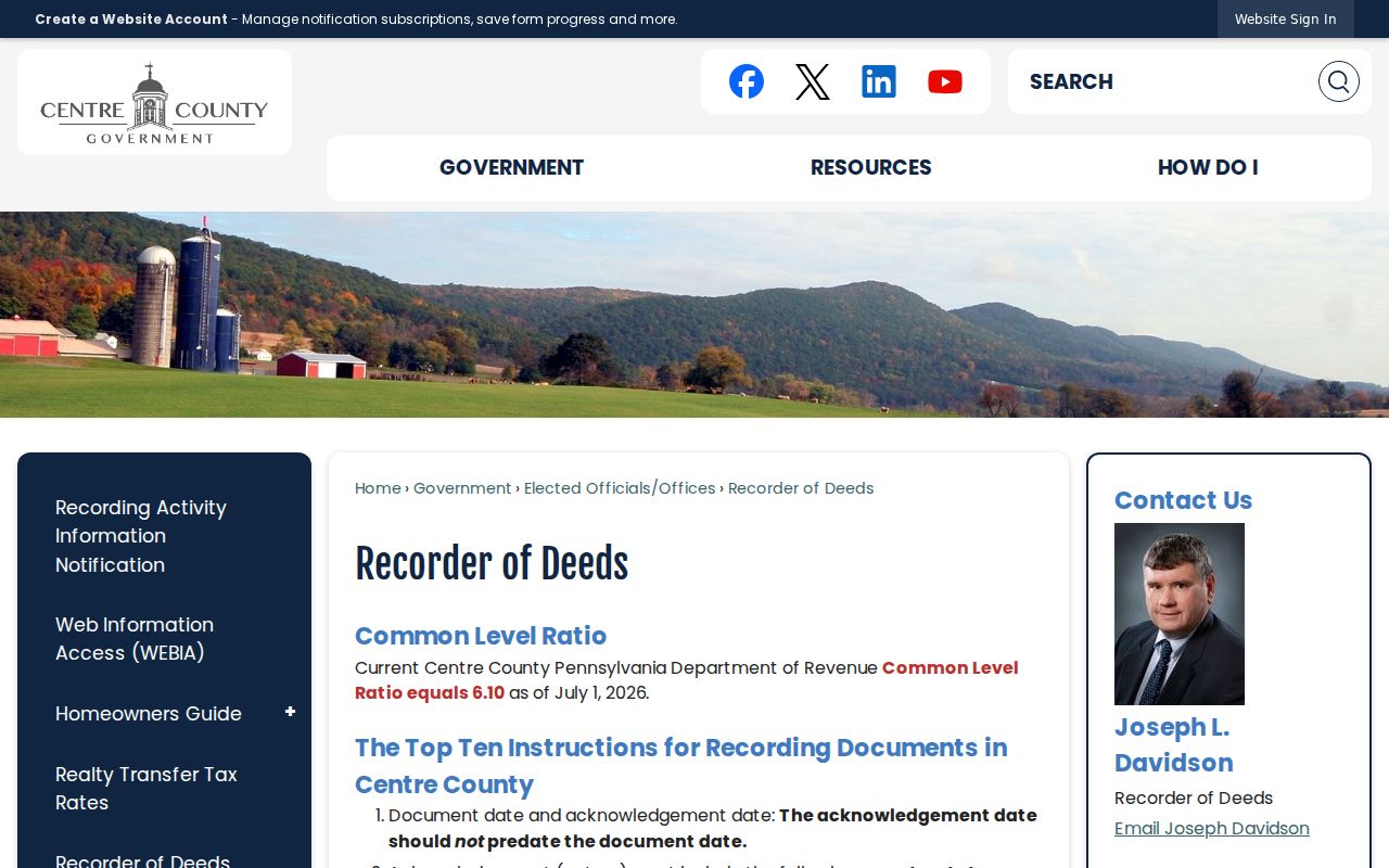
The office is at 414 Holmes Street, Suite 1, Bellefonte, and is open weekdays from 8:30 a.m. to 5 p.m., making it the recorded fallback when the remote index does not answer an older question.
State College Borough Street Election Records
Centre County's voter-information request form offers a Street List, alphabetized by voter last name, and a Walking List, alphabetized by street name. The form also asks for identification and a signed affirmation, and it states that lists and reports are supplied by email with a five-day minimum turnaround. This is an election-record process, not a broad browse tool for a State College Borough street directory.
Pennsylvania law permits regulated public inspection and copies of street lists, but use is limited to elections, political activities, or law enforcement. The state and county forms also bar posting the material on the internet. County election records therefore cannot be copied into a general address listing. The official self-service Voter Registration Status page is for a person checking status, not a public street browser.
Use the Centre County voter-information request form for the official list types and conditions.
Note: A Street List may be available through Elections, but its required affirmation and no-publication rule remain part of the record.
State College Borough Street Project Files
Borough planning and CRCA material can add a physical-change layer to an address history. State College says zoning approval comes before building-permit approval. A zoning or building application identifies such details as property lines, structures, walks or patios, driveways or curb cuts, setbacks, lot coverage, open space, and right-of-way features. That can anchor the timing and scope of a project.
No public permit or code-case search was verified in the research. For a specific file, name the address, approximate dates, and record wanted in a Borough RTKL request or contact the appropriate planning or CRCA channel. Approval is not evidence that the work happened, and an applicant's name is not proof of continual presence at the property.
Review the State College Borough zoning and permits information before requesting an addressed project record.
The Assessment office receives municipal permit notices for construction, improvement, or demolition, which can help connect an official project record to a parcel without making an occupancy claim.
A 1999 State College Addressing Clue
Centre County says its policy retains existing street names that resemble surnames when they predate centralized addressing in 1999. That small rule matters when a State College Borough street directory search reaches an older deed, road petition, tax ledger, or local map. A historic record may preserve a road label, route, or lot description that does not match a modern delivery line exactly.
For a disputed historic location, compare the legal description and parcel evidence with the Pennsylvania Room's road petitions from 1800 to 1956 and the Penn State Sanborn maps. The County did not identify a borough-wide street-renumbering event, so a specific renumbering claim would need proof from the actual address record. The borough's Public Works office handles questions about correct address display and numbering.
State College Borough Street Directory Limits
A street search cannot establish a whole household. A deed party may have a limited transaction role. A tax mailing address may differ from the physical parcel. The free parcel map has no ownership layer, and a planning document speaks to a project rather than continued presence. Motor-vehicle data are restricted under the federal Driver's Privacy Protection Act, while Pennsylvania's Address Confidentiality Program can replace a protected person's address in certain records.
That privacy line is not a gap to work around. It is part of an accurate State College Borough street directory search, alongside the election-list restrictions and each custodian's own access rules.
State College Borough Street Access Comparison
Centre County offers two very different routes to an older property document. The Recorder makes public documents from 1800 forward available for inspection at its counter, while remote WEBIA access is paid subscription access. The county did not publish a universal online starting year for WEBIA. A search that stops online should move to the Recorder's office or the Pennsylvania Room's trained WebIA access instead of treating the missing result as a missing record.
The same comparison applies to assessment data. WebIA's assessment information stopped receiving updates on August 1, 2025 during conversion, so current property questions belong with DataScout or the public Assessment terminal. The legacy notice is available through Centre County WEBIA.
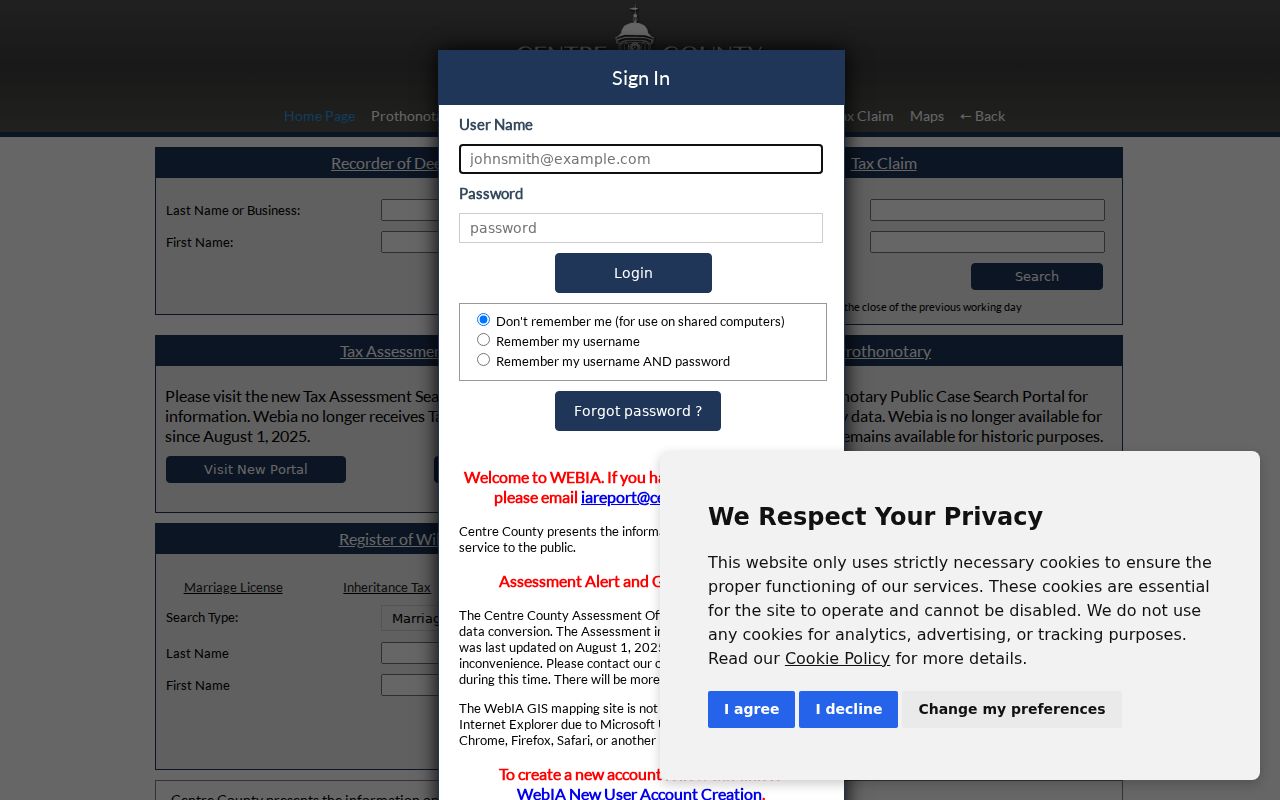
Checking the source date is as important as matching the street name, especially when present-day ownership is the question.
Keep State College Borough Street Results Accurate
Preserve the exact address as found, including a University Park mailing designation if it appears. Part of Penn State's University Park campus lies within State College Borough, so a mailing place and the borough jurisdiction can differ. The parcel municipality, situs address, UPI, and record date are better checks than a ZIP label alone.
When an older household question remains after the parcel and deed chain, the historical collections deserve their own careful treatment. The verified holdings and reading practices are available through the State College Borough Directory Book. For a current street-by-street sequence, stop at what each official record actually proves.
Note: Retain the source date, parcel key, and document citation so another searcher can repeat the same record path.