
State College Neighbors by Block
The record trail around a State College address has clear layers. The free County map shows parcel geometry and environmental or public-boundary context. Assessment and deed channels can identify an individual parcel’s tax or document history. Borough maps add planning and zoning context. Election and association records have their own narrow rules. Taken together, these sources describe a block without creating a dependable roster of State College neighbors or proving that a tax owner occupies a property.
| Source | What It Shows About a Block | Access |
|---|---|---|
| County Public Parcel Viewer | Contiguous parcel lines, basic parcel context, flood, soils, school-district and public-land layers | Free web map, without ownership data |
| Assessment terminal or DataScout | Individual parcel tax-record context, UPI, valuation and owner-of-record material | Lobby terminal or subscription access |
| Recorder of Deeds | Parcel-specific transfer parties, dates and legal-description links | Office inspection or paid WEBIA |
| Borough mapping resources | Zoning, municipal map and planning context | Free borough links |
| Election list process | Regulated street or walking list may be available for stated purposes | Written request, identification and affirmation |
| Neighborhood associations | Public community contacts and neighborhood context | Borough page and association sites, not a member roster |
Ownership and occupancy are different facts. The tax roll is useful when the question is who owns a parcel of record. A recorder document shows the parties to a transaction. Neither source says which people make up a household. The free viewer is useful because it identifies the parcel boundaries that tell a researcher which record belongs to which lot.
State College Parcel Lookup
Start at the map before opening an ownership record. The Centre County GIS page directs users to the Public Parcel Viewer, whose published scope includes basic parcel information and FEMA flood, soils, school-district, and public-land layers. The County explicitly says this free viewer does not display ownership. That limit is meaningful: the visible adjacent parcels are a map result, not a set of confirmed residents or owners.
Open the State College maps page for its municipal map, zoning-map, CentreGIS, and real-estate-registry routes.
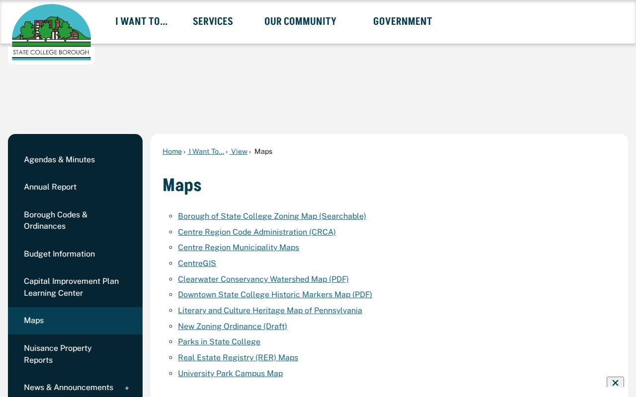
Use a borough map to normalize the street name and address before moving to the County parcel viewer. This helps when an address has a University Park mailing designation even though it is physically in State College Borough. Preserve the address form used by each record custodian rather than assuming a mailing label settles the municipal boundary.
Centre County GIS also supports Tax Assessment, Planning, 9-1-1, and other county functions. Its open-data users can search published layers by keyword or theme and download Excel or shapefile data where the County allows it. The municipal-sharing layer that includes parcels_owner is password protected and requires authorization. That separation is important for State College neighbors research: a free visual parcel map is not an unrestricted ownership dataset that can be copied into a block list.
Map State College Neighbors
Once the starting parcel is located, follow the edges outward one parcel at a time. The official public map may allow a visitor to pan, zoom, select a parcel, and view its basic context, but the County does not promise ownership in that free layer. For each adjacent parcel, move to the documented Assessment channel for current tax context, then use the UPI or legal description at the Recorder when a transfer trail is relevant. Keep each parcel separate so a common name or nearby mailing address does not merge records.
- Enter the exact street number, directional, street type, municipality, and mailing ZIP in the map workflow.
- Locate the starting parcel and visually identify the contiguous parcel boundaries around it.
- Record the visible parcel key or UPI where the official channel supplies one, then check that parcel individually through Assessment.
- Compare a verified parcel’s deed history at the Recorder by legal description or UPI, not by a surname alone.
- Stop at the record boundary. For a named street’s wider address chain, use the State College street directory.
A situs address identifies the land or structure. A mailing address is a correspondence destination and can differ from the situs. The legal description and UPI are the steadier links among assessment, deed, subdivision, and map records when names or numbers vary.
State College Neighbor Precincts
Election geography can explain which precinct and Magisterial District Judge office serves a State College block. The County’s district material names State College North, Northeast, Northwest, South 1 and 2, Southeast, South Central, East, West, and PSU precincts. It does not list voters. That makes the district table a geography reference, not a way to identify State College neighbors by address.
Centre County’s voter-information request form separately allows specified Street List, Walking List, countywide, or special requests, with identification, a signed purpose affirmation, and a stated five-day minimum delivery time. Pennsylvania law regulates the public inspection and use of these records. The State form says the material may not be published online, so it must not be repurposed into a block directory.
Note: An electoral precinct describes an area and its administration, not the people living in each parcel or unit.
State College Neighbor Associations
State College’s borough-published neighborhood inventory is the appropriate community layer after the parcel steps. It names College Heights Neighborhood Association, Greentree Association, Highland Civic Association, Holmes-Foster Neighborhood Association, State College South Association, Tusseyview Neighborhood Association, and Vallamont Neighborhood Association. The inventory provides association or public-site links for several groups. It does not supply an individual-member directory, and no member roster should be inferred from a public association name.
The borough’s neighborhood association page is the source for its public association inventory and contacts.
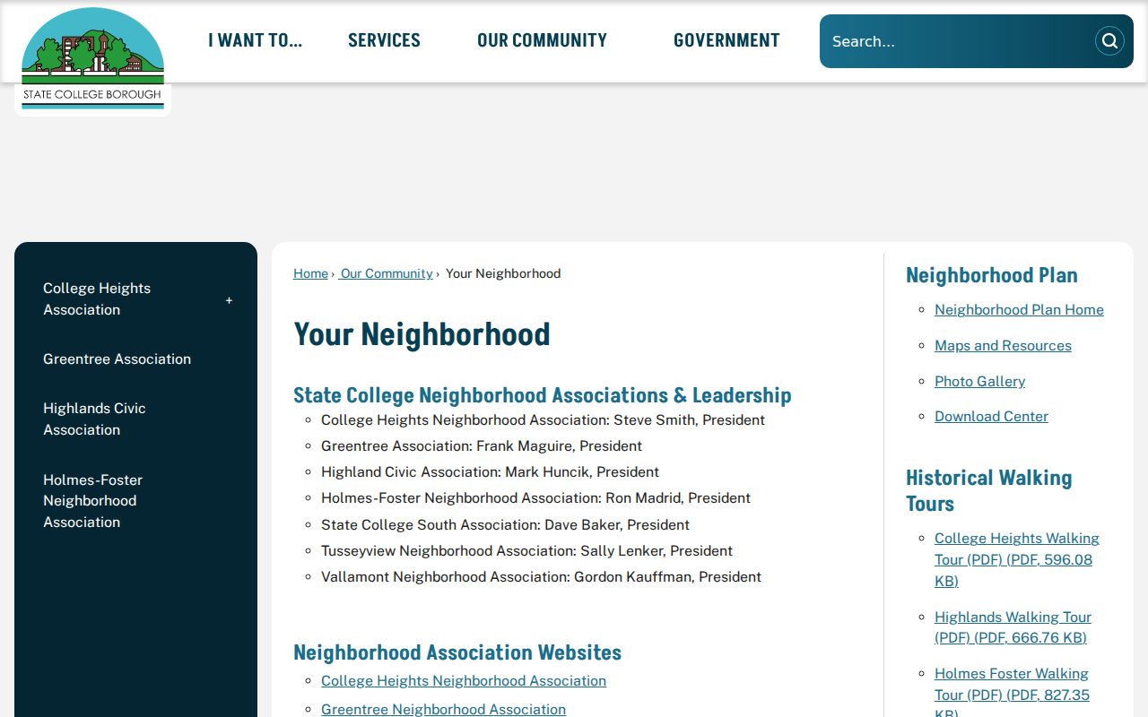
These association contacts can help a resident find public meetings, public notices, or a neighborhood’s stated activities. They do not establish who belongs to a household, and they should not be used to compile a list of State College neighbors.
| Association or neighborhood | Borough-published status | Directory boundary |
|---|---|---|
| College Heights | Association, public president, and website listed | No member directory found |
| Greentree | Association and public community information listed | No member directory found |
| Highlands / Highland Civic | Association and website listed | No member directory found |
| Holmes-Foster | Association and website listed | No member directory found |
| State College South | Association listed | No public site or member directory published on borough page |
| Tusseyview | Association listed | No public site or member directory published on borough page |
| Vallamont | Association listed | No public site or member directory published on borough page |
State College Neighbor Map Roles
Three official sources answer three different questions. The County Public Parcel Viewer shows geometry and selected map context. Assessment identifies tax-record and parcel context through its designated terminal or subscription route. The Recorder provides the document chain that can connect transfers to the legal description. Borough zoning and permit material supplies a fourth, place-and-time layer, such as a project plan, physical change, or approval process. It is not proof that a named person occupied the address.
| Record category | Best use | What it does not establish |
|---|---|---|
| Official parcel and deed channels | Parcel, owner-of-record, transfer and legal-description verification | A current household roster |
| Commercial neighbor tools | A possible lead that needs source-by-source checking | Official, current, or complete identity evidence |
See the State College zoning and permits information for the Borough’s documented planning and permit route.
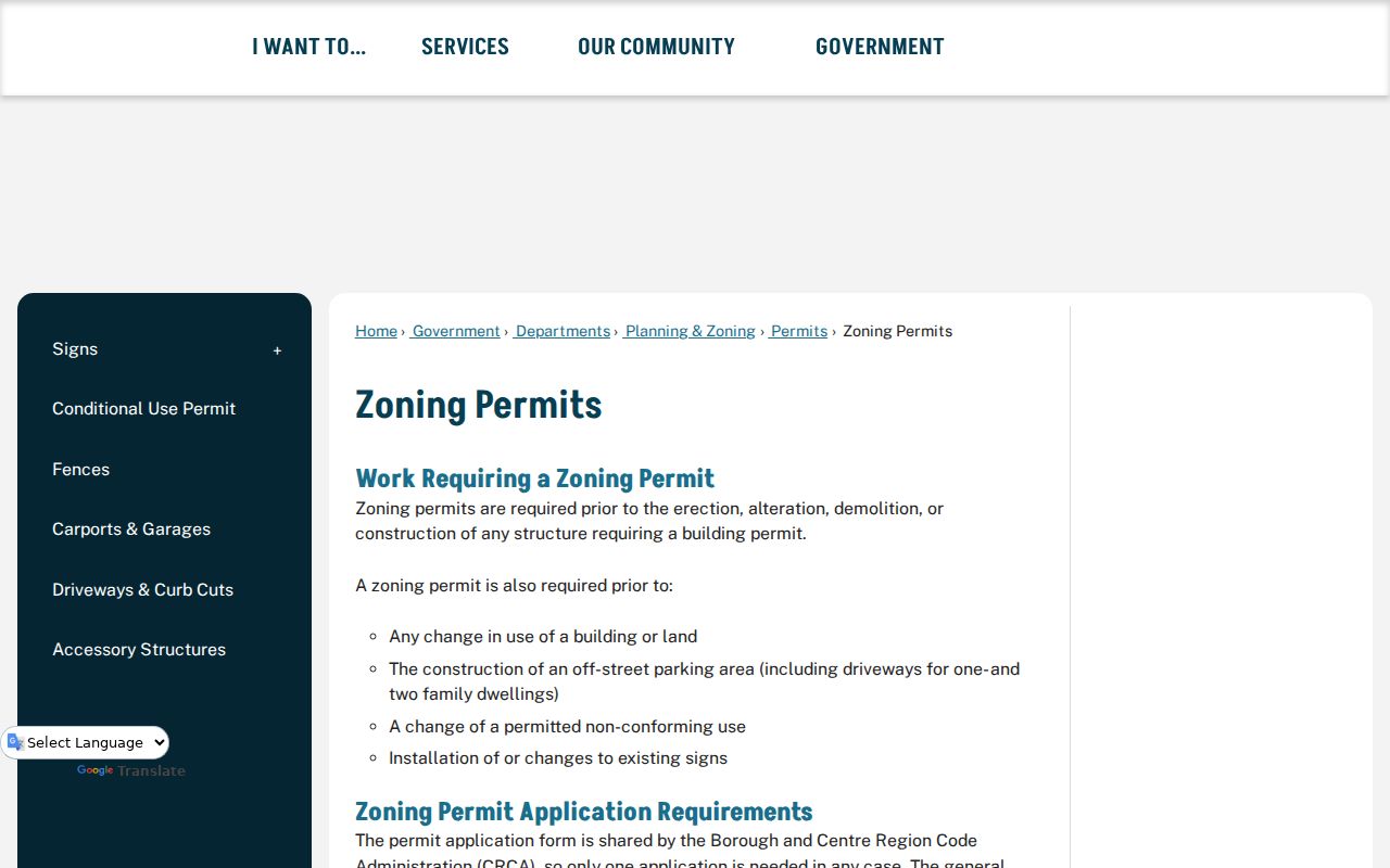
Planning records can help date a property change or identify a record request by address and period. The Borough says zoning approval comes before building-permit approval, and its applications describe physical site features. That is useful context around a block, but it stays distinct from a person record.
Greentree Neighbor Context
Greentree is one State College example of the difference between community context and person data. The Borough describes it as a neighborhood of more than 300 homes that began as an association in the early 1980s. Its public description places it near downtown and Penn State and notes boundaries around a bike path, Orchard Park, and Holmes-Foster Park. Those details help place a block within a named community. They do not identify any resident, association member, or household.
For State College neighbors, use this kind of context only after the official parcel boundary is clear. The Borough’s neighborhood plan also distinguishes College Heights, Highlands, Vallamont, Nittany Hills East, Penfield, State College South, Tusseyview, Holmes-Foster, Orchard Park, Greentree, and West End. A neighborhood name is a useful geography clue, not a property-record substitute.
State College Neighbor Privacy Limits
A missing name, an absent address, or a protected docket entry does not invite further probing. Pennsylvania’s Address Confidentiality Program allows eligible people to use a substitute mailing address for specified public records. Motor-vehicle records have separate federal protections. County voter lists have regulated uses and no-internet-publication limits. Utilities, deliveries, household membership, and private contact details are not proven by a parcel map, tax record, deed, or association contact page.
Lawful use. Use block records for personal, lawful property, civic, or community research. Do not use State College neighbor information to threaten, watch, stalk, harass, or intimidate anyone.
For sensitive material in a recorded document, contact the Centre County Recorder of Deeds before filing a request or relying on a displayed image. The research did not identify a countywide property-fraud enrollment service or a general state data-broker deletion right, so neither should be assumed. Official records and commercial listings each have their own correction or privacy process.