
State College ZIP Codes and Postal Areas
Postal labels and borough lines answer different questions. The documented ZIPs below are the labels that can matter to a State College Borough address. USPS must verify an exact street address, especially where a label serves a wider Centre Region area. The table does not assign neighborhoods or claim a delivery class where the research did not verify one.
| ZIP | Areas Covered | Post Office | Notes |
|---|---|---|---|
| 16801 | Core State College mailing designation; USPS label group also includes 16804, 16805, 16828, and 16875. | State College PA 16801 processing label | Exact address verification remains necessary. |
| 16803 | State College delivery and processing designation with several regional ZIP relationships. | State College PA 16803 processing label | Postal edges do not trace borough limits. |
| 16802 | University Park mailing designation. | University Park, PA mailing label | An address using this label can be inside State College Borough. |
| 16804 | USPS groups it with the State College PA 16801 processing label. | State College PA 16801 processing label | Public research did not verify its delivery classification or Borough street coverage. |
| 16805 | USPS groups it with the State College PA 16801 processing label. | State College PA 16801 processing label | Public research did not verify its delivery classification or Borough street coverage. |
The 16804 and 16805 entries deserve address-level confirmation. No inspected authority identified them as a particular delivery, post-office-box, or institution class, so a State College ZIP code directory should not make that claim.
State College ZIP Code Address Checks
USPS ZIP Lookup is the postal verification route. It offers ZIP by street address, city and state to view ZIPs, and city by ZIP. Use the exact-address mode when checking a postal claim. USPS warns that a result does not prove a person or organization is actually at the address, and it does not decide which government holds a related public record.
- Write the number, directional word, street name, street type, city label, and ZIP exactly as supplied.
- Run the address through USPS and retain the returned postal form rather than guessing from a nearby ZIP.
- Check the county parcel municipality and UPI if the question concerns a Borough property.
- Use a court or other official system only for the narrow record type it publishes, not as a ZIP-wide resident roll.
- For a street-by-street record chain after the postal check, use the State College street directory.
USPS can settle a delivery label. It cannot settle a record's ownership, current household, or municipal jurisdiction without the matching parcel or government field.
State College ZIP Code 16802 Exception
The key local mismatch is University Park, PA 16802. Penn State material identifies the Pasquerilla Spiritual Center at 425 Allen Road with that mailing designation and says the project is physically within State College Borough. In other words, the words University Park and 16802 in a postal address do not, by themselves, put a parcel outside the Borough. The opposite problem also applies: 16801 and 16803 serve a wider regional postal geography than the Borough boundary.
This geography is especially important where a search interface uses a city label that differs from an assessor or court municipality field. Preserve both forms in the research notes instead of overwriting one with the other.
State College ZIP Code Court Fields
Pennsylvania's UJS Case Search has advanced parcel fields that include ZIP information. It is a free public docket route, not a resident directory. A ZIP result can identify cases that match the selected docketed parcel criteria, subject to court coverage and exclusions. The portal warns that some juvenile, expunged, limited-access, and certain civil material will not display, and some newer entries may not yet be available.
| UJS field | Type | Required | Use and limit |
|---|---|---|---|
| Parcel Number | Text | No | Use an exact parcel identifier where known. |
| Parcel Address | Text | No | Use the physical address form, not a mailing assumption. |
| Parcel City | Text | No | May need the postal city label supplied by the record. |
| Parcel State | Dropdown | No | Choose the documented state field. |
| Parcel ZIP | Text | No | Use as a parcel criterion, not as a population search. |
| County | Dropdown | No | Select Centre to narrow the court geography. |
| Municipality | Dropdown | No | Use the government jurisdiction rather than inferring it from ZIP. |
When a case search does not show a needed file, contact the relevant court office for its paper-record route. The docket page is not a complete substitute for the official case file.
State College ZIP Code Record Keys
Centre County systems use more than one geographic key. The tax assessment system and Recorder chain rely heavily on the UPI, or tax parcel identifier, while a postal search starts with the address as delivered. The free Public Parcel Viewer gives map and parcel context but the County says it does not show ownership. For a current parcel question, the Assessment office offers public lobby terminals at 420 Holmes Street, Suite 301 in Bellefonte, and the county-designated current online assessment route is DataScout subscription access.
| Street or situs address | The physical location used by Borough maps, parcel location, permits, assessment, and UJS parcel fields. Older deeds may not use it. |
|---|---|
| Mailing address | A correspondence destination that can differ from the situs and does not establish present residence. |
| UPI or tax parcel ID | The Centre County parcel key that connects Assessment, Recorder prerequisites, GIS, and plat work. |
| Legal description | Lot, block, subdivision, or other deed wording that may persist when the street form changes. |
| Municipality | The government jurisdiction used for Borough, township, assessment, mapping, and court distinctions. |
| ZIP code | USPS delivery geography, useful for postal checking but not a legal borough border. |
The County has not published a ZIP-wide Assessment, WebIA, or free GIS filter for identifying property records. After USPS confirms a postal form, narrow the work with the parcel municipality, UPI, and exact street address. That sequence avoids treating a large postal area as though it were one State College Borough record boundary.
The State College Borough house-numbering page identifies the local requirements for visible address characters and provides the Public Works route for questions about a correct address.
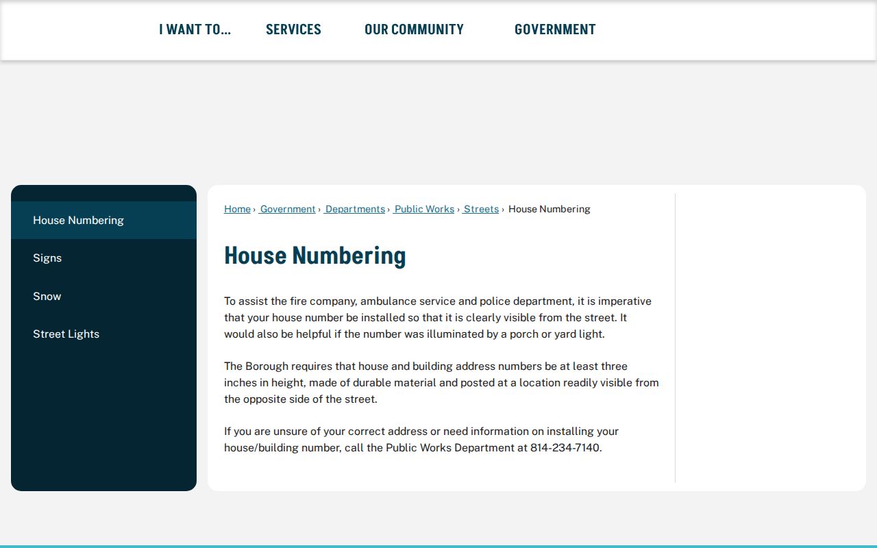
Clear house numbers help preserve the exact address form before it is compared with postal, parcel, or historical sources.
State College ZIP Code Glossary
Postal terms can look more precise than they are. These definitions help keep a State College ZIP code directory search in its proper lane and avoid turning a mail-routing result into a parcel conclusion.
- ZIP code
- A USPS delivery-geography label used to route mail. It does not establish a borough boundary.
- ZIP+4
- An added four-digit delivery segment that gives more postal detail than the five-digit ZIP.
- Post-office-box ZIP
- A ZIP used for post-office-box routing. The research did not establish that label for 16804 or 16805.
- Unique ZIP
- A ZIP assigned to one organization or destination. Do not assume a local ZIP is unique without USPS confirmation.
- Carrier route
- A postal delivery grouping that is not the same thing as a government district or Borough neighborhood.
A mailing address can remain useful evidence when it is clearly labeled as mail routing. It should not be rewritten as a property location or a statement about who lives at a site.
State College ZIP Code Address Continuity
Centre County's centralized-addressing reference date is 1999. The County says older surname-like road names can remain because they predate that system. That fact matters when an older deed, notice, or directory uses a route, road, lot, or street variant that does not neatly match a current ZIP form. Research did not establish a Borough-wide street-renumbering year or a ZIP realignment for particular State College streets, so those events should not be invented.
The County Emergency Communications 9-1-1 program assigns a new address after municipal approval and permits. A complete request includes contact details, a tax parcel ID, boundaries, driveway point, proposed structure location, and structure type. Most complete requests are processed in one to five business days, although site complexity or an incomplete record can change that timing.
The Centre County 9-1-1 address-assignment guidance shows the record path used when a new or disputed address needs official treatment.
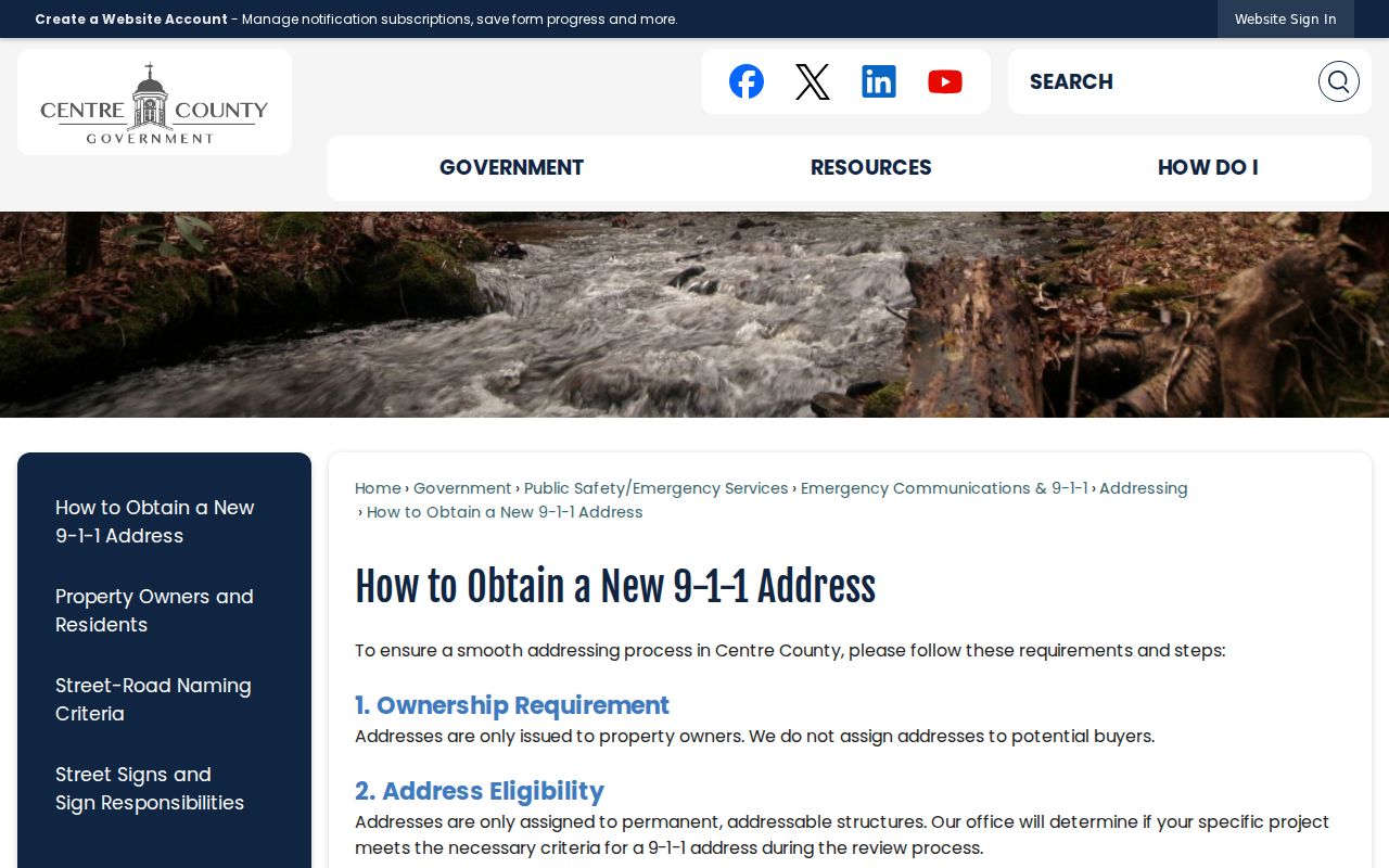
For an older address, pair the current form with historical maps and road-petition context instead of assuming the newest postal version always existed.
State College ZIP Code Historical Maps
Penn State's searchable State College map series covers 1906, 1911, 1922, and 1929. It can search an address, building name, or land-use code and provides building context through time. That makes it useful when an old address must be reconciled with a present street and ZIP form. It is not a postal-map substitute and it does not identify every historical occupant.
For a more difficult continuity question, compare the map result with the Pennsylvania Room's road petitions from 1800 through 1956, tax material, and the deed's legal description. Centre County Recorder records begin in 1800, and the UPI links a recorded deed to Assessment before recording. A ZIP can be kept as one useful label in that chain, but the parcel and municipality do the heavier work.
Note: A historical map can place a structure in time, while a current USPS result only confirms the postal form for an exact address.